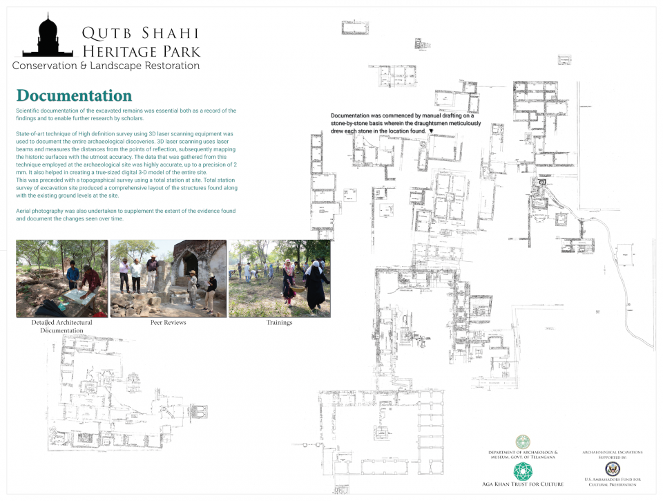
Scientific documentation of the excavated remains was essential both as a record of the findings and to enable further research by scholars.
State-of-art technique of High definition survey using 3D laser scanning equipment was used to document the entire archaeological discoveries. 3D laser scanning uses laser beams and measures the distances from the points of reflection, subsequently mapping the historic surfaces with the utmost accuracy. The data that was gathered from this technique employed at the archaeological site was highly accurate, up to a precision of 2 mm. It also helped in creating a true-sized digital 3-D model of the entire site. This was preceded with a topographical survey using a total station at site. Total station survey of excavation site produced a comprehensive layout of the structures found along with the existing ground levels at the site.
Aerial photography was also undertaken to supplement the extent of the evidence found and document the changes seen over time.
This image is embedded in ...
- Archaeology Exhibit In Qutb Shahi Heritage Park: Conservation and Landscape Restoration. Aga Khan Trust for Culture, 2016.